The Future of Construction: Topodrone's Advanced Drone Solutions
Published by Chief Enterprises on Jul 30th 2024
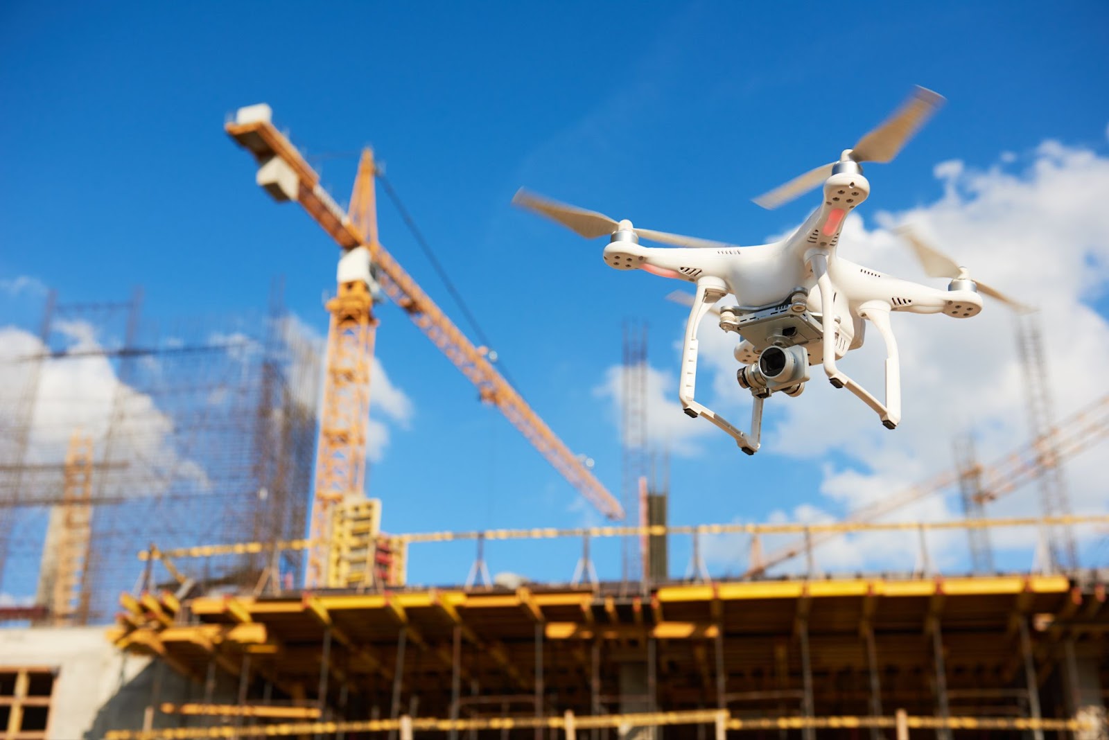
Unmanned Technology in Construction
In the construction industry, drones are transforming how sites are monitored and managed. Using drones enables operators to improve equipment safety, detect unauthorised individuals on-site, and monitor for damage or theft in real time. One of the key advantages of drones in construction is their ability to track project progress, providing site managers with critical data to improve planning and scheduling while identifying potential issues early.
Topodrone for Construction
Topodrone offers a comprehensive range of mapping and survey services tailored to the design and construction sectors. By using advanced drone technology, Topodrone can survey large areas far more quickly and accurately than traditional methods. These drones produce 3D models, contours, and digital elevation models, streamlining a process that previously relied on ground-based tools such as total stations or GNSS receivers. Aerial surveying with drones is not only faster but also more cost-effective.
Surveying and Mapping
Initial Phase: Establishing the Geodetic Benchmark Network
The survey process begins by establishing a geodetic benchmark network. These fixed reference points are accurately positioned and elevated using advanced GNSS measurements. They serve as essential anchors for all subsequent survey work.
Second Phase: Comprehensive Aerial and Topographic Surveys
In the next stage, Topodrone carries out aerial photography or LiDAR surveys using unmanned aerial vehicles (UAVs) fitted with high-precision GNSS receivers or LiDAR payloads. These UAVs automatically generate 3D models with centimetre-level accuracy, providing detailed information about the landscape and reducing both labour and equipment costs. This level of precision is especially valuable on large or complex sites where traditional survey methods can be slow and labour-intensive.
Topodrone’s workflow significantly reduces survey time. A task that might take a two-person ground crew up to a week can be completed in just three hours: one hour for flight planning and execution, one hour for data processing, and one hour for reviewing the results.
The Future of Construction with Topodrone
Integrating Topodrone’s UAV technology into your construction projects can lead to improved efficiency, greater accuracy, and enhanced on-site safety. Drone-based surveying is already reshaping the industry and will continue to set the standard for modern mapping and progress monitoring.
Learn more about how Topodrone can support your construction projects by contacting us.